

Landmark Collaboration Aims to Create Digital Twins of Major Cities and Towns
In a landmark collaboration, Genesys International, leading Indian Mapping company , and Survey of India (SOI), the country's national surveying and mapping authority, have joined forces to revolutionize India's map content . This strategic partnership aims to create Digital Twins of major cities and towns, leveraging Genesys' all India highly accurate navigable maps, the Genesys constellation of sensors and SOI's recently launched CORS network which allows for real time high precision positioning data. This collaboration is aligned with India's National Geospatial Policy 2022, promoting self-reliance in geospatial data production and usage.
The collaboration introduces the India Map Stack initiative, synergizing Genesys' expertise with SOI's technical infrastructure, delivering previously unavailable data layers such as high-precision 3D data, Digital Terrain Models (DTM), Digital Surface Models (DSM), and orthoimagery. This comprehensive dataset forms the bedrock for creating detailed and accurate urban representations.
Mr. Sajid Malik, Chairman and Managing Director of Genesys International, expressed his pride in the partnership, stating, “We are proud to join forces with Survey of India to create a Digital Twin of Indian cities that will serve as a cornerstone for India's development. We are excited that India's foremost mapping authority is playing the nodal role in the growth of this sunrise digital infrastructure.”
Genesys International has garnered acclaim for developing highly accurate, fully navigable road datasets encompassing 8.5 million kilometers, 40 million Points of Interest (POIs) and addresses, along with an unprecedented 1 million kilometers of 360-degree panoramic imagery across Indian towns and cities. Leveraging its Genesys constellation of LiDAR and optical sensors, the company stands as a pioneer in Digital Twin and 3D map creation.
SOI's Continuously Operating Reference Stations (CORS) network, comprising 902 stations across all states and Union Territories, provides real-time, high-precision positioning data. By seamlessly integrating CORS data, Genesys will ensure that its Digital Twins faithfully mirror the dynamic urban landscape with unparalleled precision. This integration empowers applications such as urban planning, telecom signal assessment, disaster management, and infrastructure development with accurate and reliable geospatial insights.
Key Highlights of the Collaboration:
· Genesys will generate Geospatial 3D Digital Twins for major Indian cities and towns.
· SOI will provide CORS datasets to Genesys.
· SOI will offer administrative boundaries of major Indian cities and towns.
· Genesys and SOI will collaborate on the urban 3D Data Model.
· Genesys will acquire accurate geospatial datasets using advanced surveying equipment and ground validations.
· Genesys will license its geospatial data products to end-users in a “Content-as-a-Service” model.
· Joint efforts will be made to apprise city administrations of the utility of accurate geospatial datasets through technical workshops.
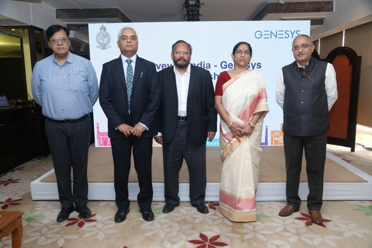
· The collaboration was marked by an event attended by senior government officials and industry leaders, showcasing Genesys International's cutting-edge geospatial solutions that actively address complex urban challenges.
Mr. Hitesh Kumar Makwana, IAS, Surveyor General of India, shared his thoughts on the partnership, saying, “Survey of India is excited to collaborate with Genesys International, a company with a proven track record in delivering geospatial content. This partnership reflects our commitment to modernizing surveying techniques and leveraging the expertise of Indian companies. The 3D Digital Twin we aim to create will be a valuable asset for various government initiatives. The integration of our CORS technology with Genesys' mapping expertise will elevate the accuracy and reliability of geospatial data, unlocking new possibilities for India's development. We are excited about the future possibilities that this collaboration holds.”
This strategic alliance between Genesys and SOI heralds a new era of geospatial excellence, providing invaluable data and applications to enhance decision-making processes across various sectors as projections indicate significant growth in the geospatial market within the Indian urban and utilities sector by 2025, underscoring substantial economic opportunities within the domain.


More Stories
Anil Goswami’s Culinary Empire Illuminates Singapore’s Cultural Tapestry: Al Capone and Rocking Rickshaw
CrowdStrike Unifies ASPM with CNAPP to Stop Breaches from Code to Cloud
Sunkind Energy Shines Bright, Set to Energize Solar Infra Boost with 5 MajorRooftop Projects